

GWAS and QTL Mapping in Horticultural Crops | 9.81 MB
Title: GWAS and QTL Mapping in Horticultural Crops
Author: Shyam Sundar Dey
Category: Nonfiction, Science & Nature, Science, Biological Sciences, Biotechnology, Genetics, Technology, Agriculture & Animal Husbandry
Language: English | 544 Pages | ISBN: 9819523052
 Read More
Computational Infodemiology Belief System Mapping and Social Stress | 3.17 MB
Title: Computational Infodemiology
Author: Herkulaas Combrink
Category: Nonfiction, Science & Nature, Mathematics, Statistics, Computers, Advanced Computing, Artificial Intelligence, Religion & Spirituality, Philosophy, Ethics & Moral Philosophy
Language: English | 75 Pages | ISBN: 3032101298
Read More
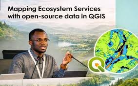
Mapping Ecosystem Services With Open Source Data In Qgis
Published 12/2025
Created by Desmond Lartey
MP4 | Video: h264, 1920x1080 | Audio: AAC, 44.1 KHz, 2 Ch
Level: Intermediate | Genre: eLearning | Language: English | Duration: 20 Lectures ( 2h 21m ) | Size: 3.4 GB
Read More
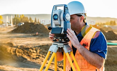
Land Survey Digital Mapping
Last updated 2/2025
Created by Pravin Khandve
MP4 | Video: h264, 1920x1080 | Audio: AAC, 44.1 KHz, 2 Ch
Level: Intermediate | Genre: eLearning | Language: Marathi | Duration: 16 Lectures ( 3h 38m ) | Size: 3.21 GB
Read More
Qgis For Cadastral Mapping
Published 12/2025
Created by Matteo Mirabilio
MP4 | Video: h264, 1920x1080 | Audio: AAC, 44.1 KHz, 2 Ch
Level: Beginner | Genre: eLearning | Language: English | Duration: 8 Lectures ( 1h 39m ) | Size: 1.5 GB
Read More

Building The Complete Real-Time Mapping System
Published 12/2025
Created by Rabbitt Learning (1,000,000+ Learners)
MP4 | Video: h264, 1920x1080 | Audio: AAC, 44.1 KHz, 2 Ch
Level: All | Genre: eLearning | Language: English | Duration: 5 Lectures ( 2h 21m ) | Size: 1.1 GB
Read More
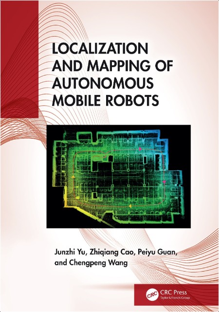
Yu J Localization and Mapping of Autonomous Mobile Robots 2025 | 43.73 MB
Title: Localization and Mapping of Autonomous Mobile Robots
Author: Junzhi Yu
Read More
Urban Expansion Suitability Mapping Using Remote Sensing
Published 8/2025
MP4 | Video: h264, 1280x720 | Audio: AAC, 44.1 KHz, 2 Ch
Language: English | Duration: 48m | Size: 381 MB
Read More
Landslide Risk Mapping Using Remote Sensing And Gee
Published 8/2025
MP4 | Video: h264, 1280x720 | Audio: AAC, 44.1 KHz, 2 Ch
Language: English | Duration: 56m | Size: 498 MB
Read More
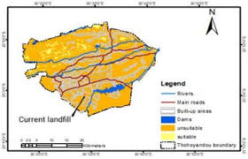
Landfill Site Suitability Mapping Using Remote Sensing
Published 8/2025
MP4 | Video: h264, 1280x720 | Audio: AAC, 44.1 KHz, 2 Ch
Language: English | Duration: 54m | Size: 482 MB
Read More

